
Transforming Raw Data Into Actionable Intelligence
AI-powered LiDAR & Image processing, feature extraction, and cloud analytics for transportation infrastructure, from collection to insight.
From Raw Scan to
Digital Intelligence
Four integrated stages that transform raw point clouds into structured, actionable geospatial data, from collection all the way to viewing and managing your assets.
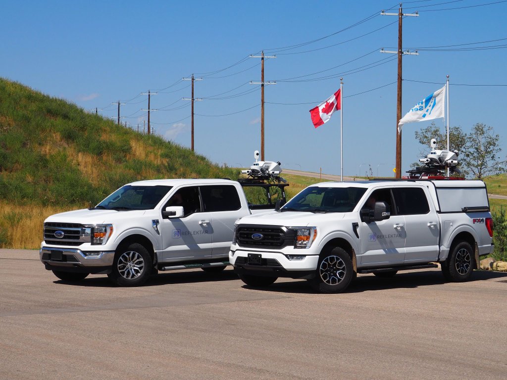
Autonomous Acquisition
High-precision data capture using our mobile LiDAR scanning units. From highway corridors to dense urban environments, we collect survey-grade 3D point clouds with millimeter accuracy.
Learn moreAI-Augmented Classification
Upload your raw point cloud data to our Portal for automated noise suppression, intelligent classification, feature extraction and geometric analysis. All at a fraction of the time of manual processing.
Learn more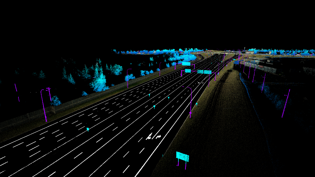
Semantic Feature Synthesis
Our AI-driven algorithms automatically identify and extract critical infrastructure features including poles, pavement markings, signage, guardrails, and more from your LiDAR and photogrammetry datasets.
Learn more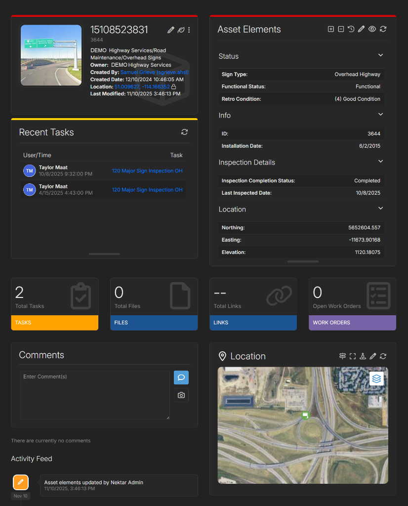
Platform & Integrated Viewer
A cloud-based platform for visualizing extracted assets, managing infrastructure data, and exploring your LiDAR scans in an immersive, browser-based 3D environment.
Learn moreWho We Serve
Purpose-built solutions for every stage of the geospatial value chain.
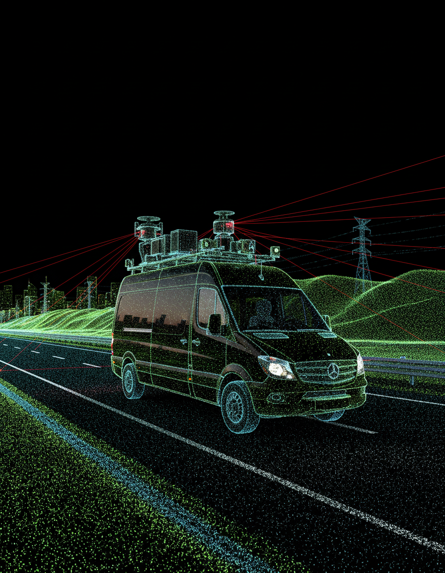
Scanning Companies
Augment your data collection workflows with AI-powered processing. Upload scans directly to our Portal and deliver classified, feature-rich datasets to your clients faster than ever.
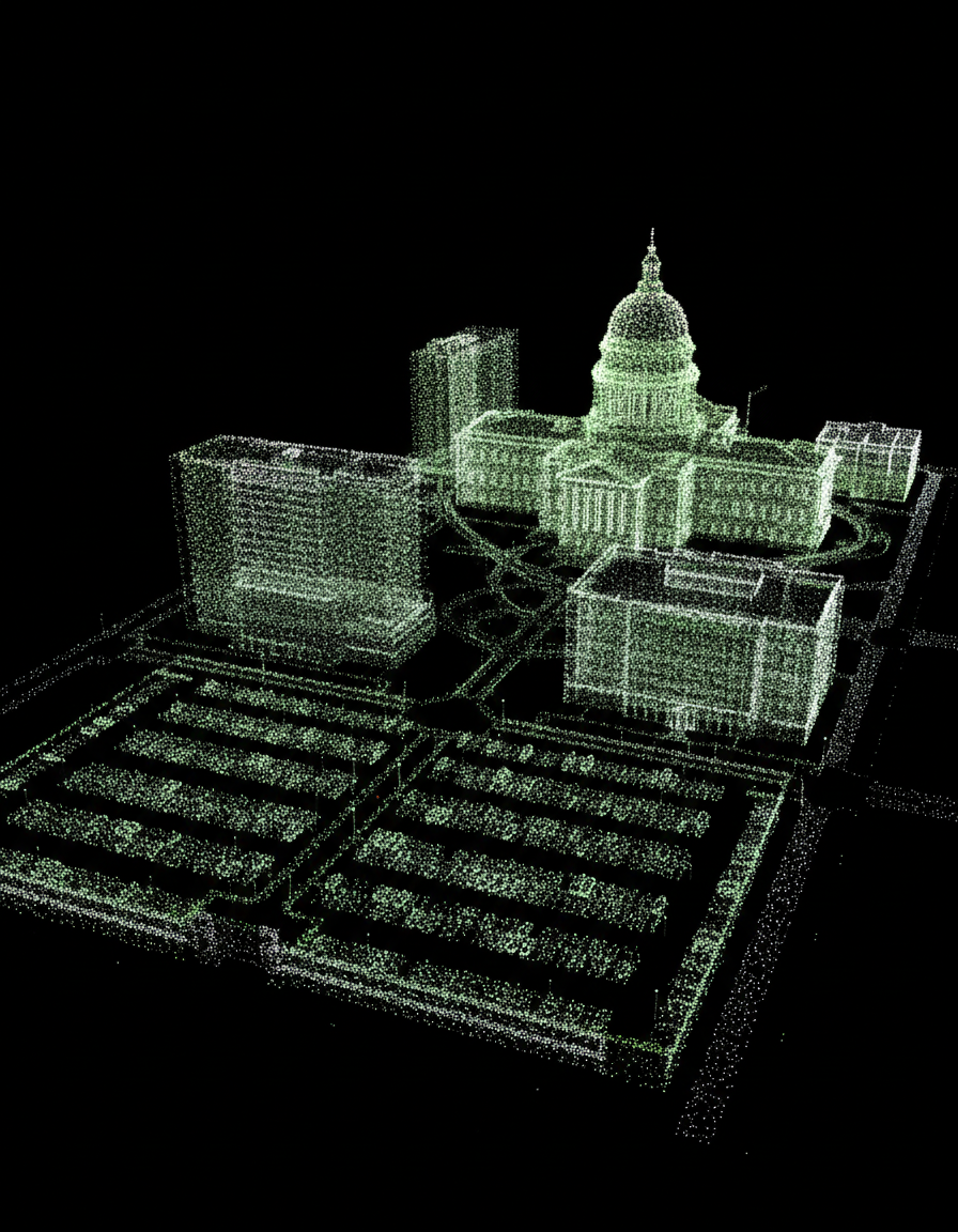
Transportation Agencies
Leverage geospatial intelligence for infrastructure planning, asset management, and safety assessments. Make data-driven decisions with comprehensive digital twins of your jurisdiction.

Municipalities
From road maintenance to utility mapping, transform how you manage civic infrastructure. Our cloud platform gives you real-time access to classified assets across your entire network.
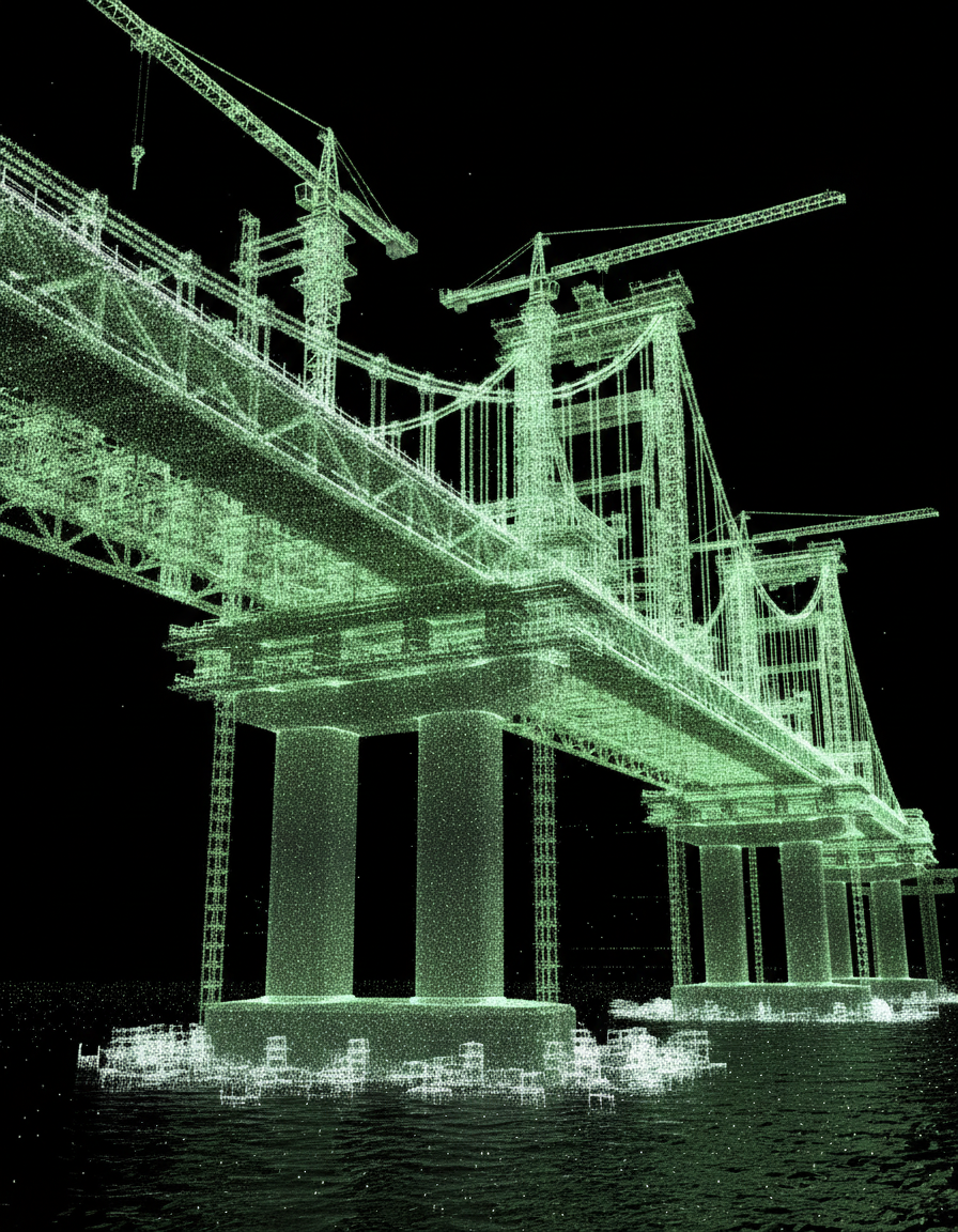
Contractors
Accelerate project timelines with precise 3D survey data, automated quantity measurements, and pre-construction digital twins that reduce field errors and change orders.
Scanning Companies
Augment your data collection workflows with AI-powered processing. Upload scans directly to our Portal and deliver classified, feature-rich datasets to your clients faster than ever.
Transportation Agencies
Leverage geospatial intelligence for infrastructure planning, asset management, and safety assessments. Make data-driven decisions with comprehensive digital twins of your jurisdiction.
Municipalities
From road maintenance to utility mapping, transform how you manage civic infrastructure. Our cloud platform gives you real-time access to classified assets across your entire network.
Contractors
Accelerate project timelines with precise 3D survey data, automated quantity measurements, and pre-construction digital twins that reduce field errors and change orders.
Geospatial
Intelligence Suite
Purpose-built analytical tools that extract maximum value from your LiDAR data.
Grade Widening & Twinning
Full digital twins of road corridors for preliminary survey and earthworks planning.
Concept & Detailed Design
Survey-grade 3D CAD models for precise planning, design, and virtual site access.
Asset Inventory & Utility Mapping
Automated inventory of roadside assets and utilities with full attribute extraction.
Geometric & Safety Assessment
Geometric design element extraction for Road Safety Audits and reviews.
Traffic & Work Zone
Real-time traffic insights at work zones with interactive dashboards and analytics.
Functional Planning
Detailed digital twins for comprehensive planning and virtual site visits.
Highway Maintenance
Automated change detection and maintenance tracking using AI and cloud analytics.
HD Maps for Autonomy
Simulation-ready HD maps at scale for autonomous driving applications.
Pavement Defect Assessment
AI-driven pavement condition detection and defect mapping from remote sensing data.

Experience the Future of Infrastructure Intelligence
Schedule a demo or explore our Portal to see how AI-powered LiDAR processing can transform your workflows.