HD Maps
for Autonomy
Produce simulation-ready HD maps at scale using Reflektar's LiDAR, AI, and ML technology. Whether you're developing autonomous vehicle systems, validating ADAS algorithms, or building next-generation transportation simulations, Reflektar delivers the centimeter-accurate, semantically rich maps that modern autonomy demands.
What's Included
Centimeter-Accurate Lane Geometry
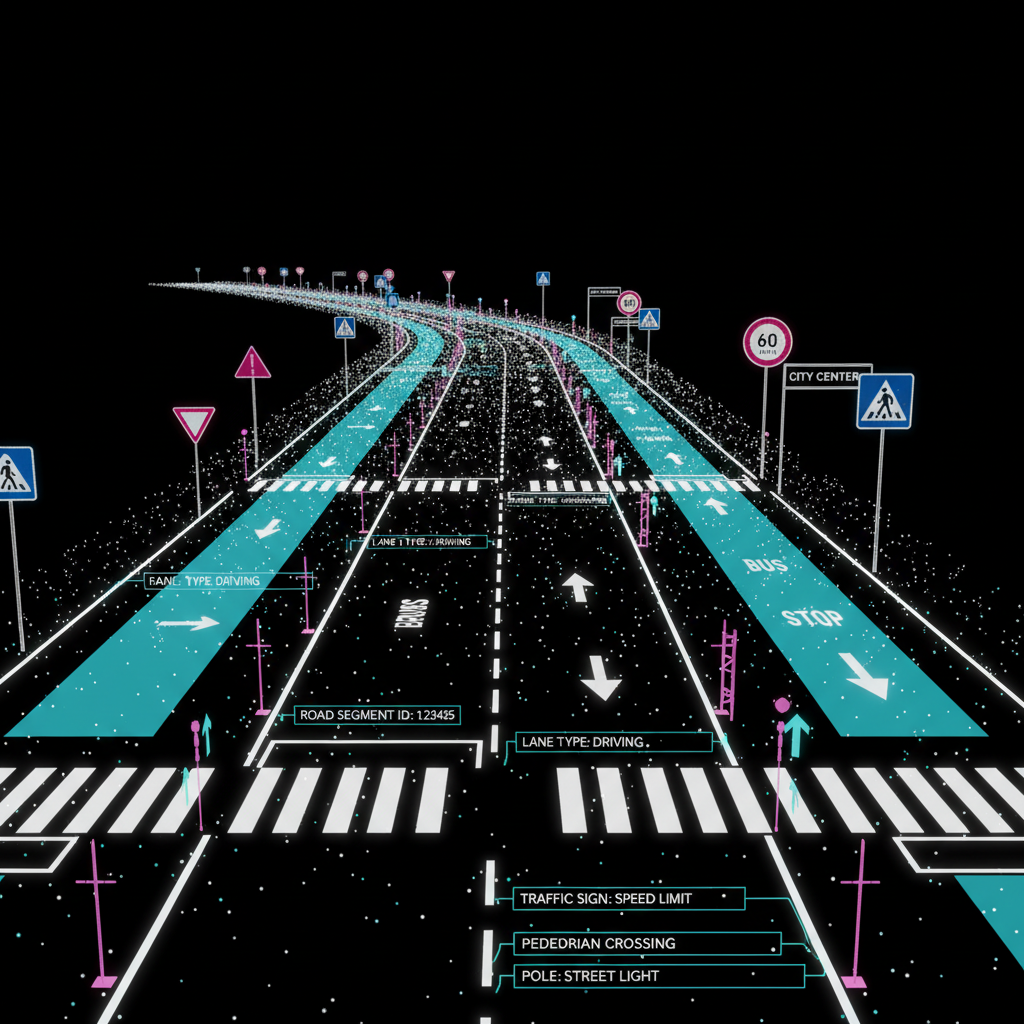
Capture lane boundaries, road edges, and travel paths at centimeter accuracy using survey-grade mobile LiDAR — the foundation of any reliable HD map.
Semantic Road Feature Extraction
Automatically extract and classify road markings, signs, traffic signals, guardrails, poles, and other features required for autonomous vehicle perception and localization.
Simulation-Ready Output Formats
Deliver HD maps in OpenDRIVE, LaneLet2, and other standard formats compatible with leading autonomous driving simulation and validation platforms.
Rapid Large-Scale Coverage
Capture and process hundreds of kilometers of road network per day with Reflektar's mobile scanning fleet and cloud-based AI pipeline.
Why Choose Reflektar
Purpose-Built for Autonomy
Maps are structured specifically for autonomous vehicle localization, path planning, and ADAS validation — not adapted from general survey products.
Scalable Production Pipeline
Cloud-based AI processing enables rapid HD map production at national scale without proportional increases in cost or time.
Consistent Data Quality
Automated QA processes ensure every map segment meets geometric and semantic accuracy thresholds before delivery.
Reduced Time to Deployment
Pre-validated, simulation-ready maps accelerate AV development cycles and reduce the time required for road testing.
Multi-Modal Data Integration
Fuse LiDAR, camera, and GPS/IMU data streams into a unified map dataset for richer environmental context.
Update-Ready Architecture
Change detection capabilities enable efficient incremental map updates when road conditions or geometry changes, keeping your maps current.
Ready to Get Started?
Schedule a demo or contact our team to see how Reflektar can transform your projects.