Aerial Surveying, Mapping & Inspection
Accurate aerial data. Actionable infrastructure intelligence. Reflektar provides professional aerial surveying, mapping, volumetric analysis and inspection services for construction, engineering, municipal, transportation, mining, aggregate, energy and infrastructure projects.
Using enterprise drones, RTK positioning, photogrammetry, LiDAR, thermal imaging and high-resolution cameras, we capture accurate and current information about your site, assets and operations — then transform that data into maps, measurements, models and reports that support better planning, safer inspections and more informed decisions.
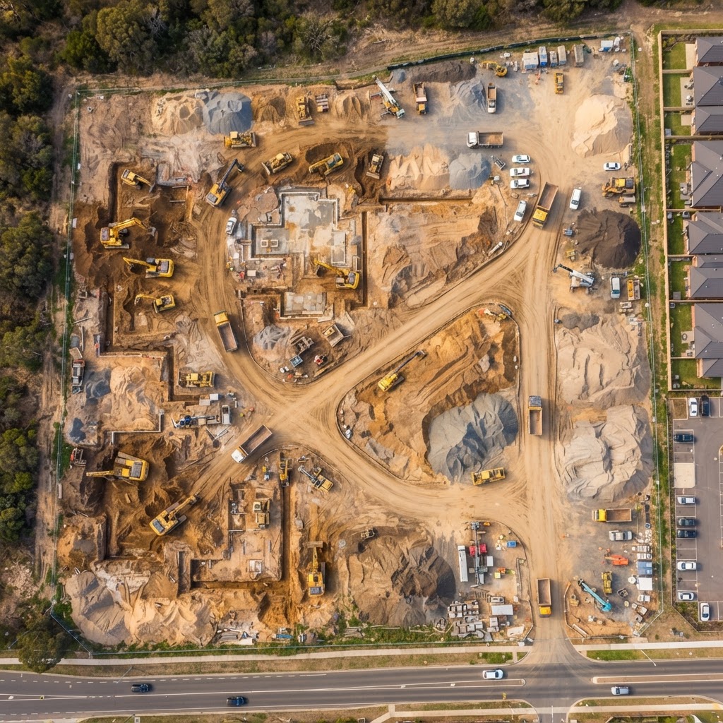
See More of Your Site in Less Time
Traditional field data collection can be time-consuming, disruptive and difficult in large, active or hazardous environments.
Reflektar's aerial data collection services provide a fast and efficient way to capture detailed information across construction sites, transportation corridors, industrial facilities, aggregate operations and remote infrastructure.
From one-time surveys to recurring progress flights, we create a clear and measurable digital record of your site.
Our Drone Lineup
Enterprise-grade aerial platforms configured for surveying, mapping and inspection — each paired with the right sensors and positioning technology for the job.
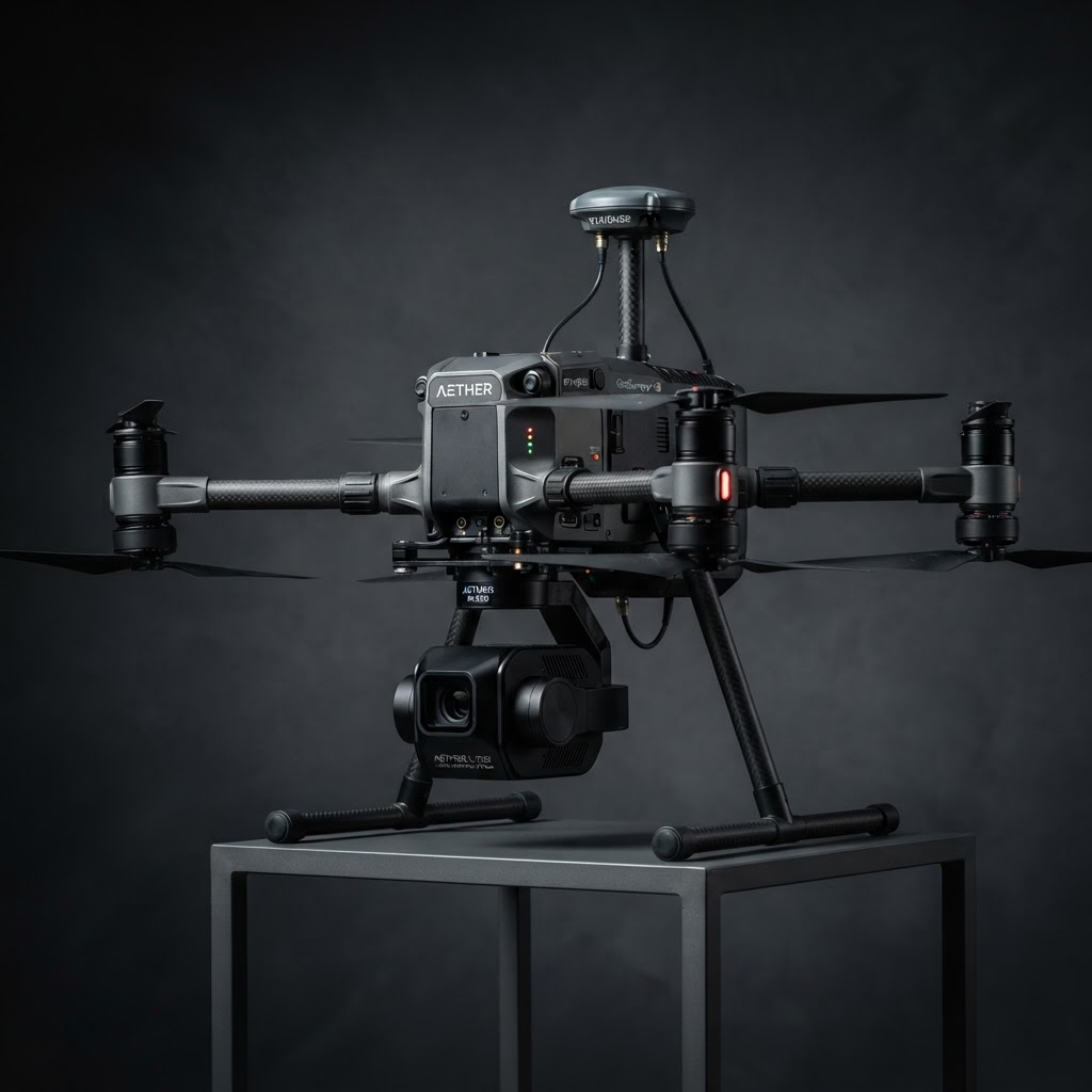
Matrice 4 Enterprise
Enterprise RTK drone carrying a LiDAR payload for high-density point cloud collection across large or difficult-to-access areas. Ideal for topographic surveys, corridor mapping and as-built documentation.
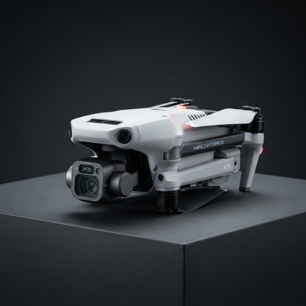
Matrice 4D (Dock 3 Drone)
Compact enterprise mapping drone with a high-resolution camera gimbal for generating measurable orthomosaics, elevation models and 3D mesh models of active project areas.
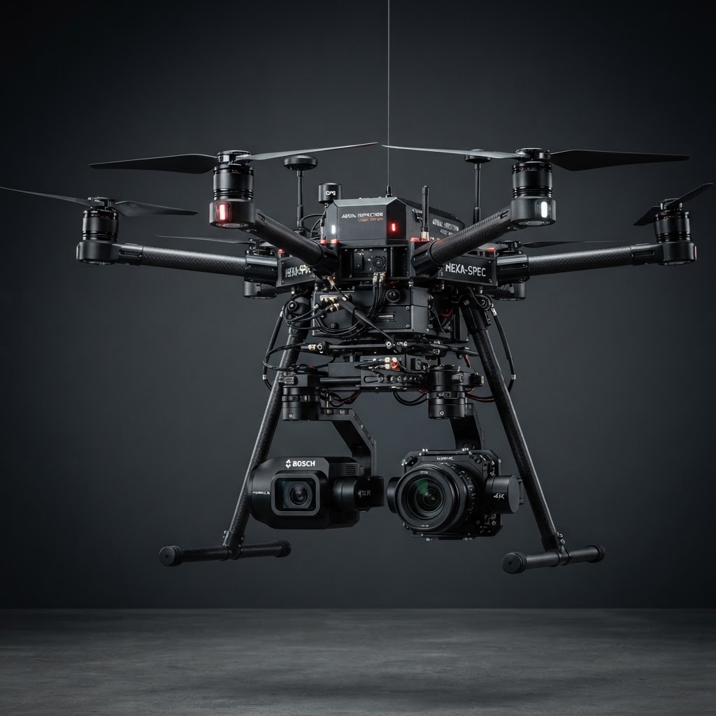
Matrice 300 RTK w/ Emesent Hovermap
Industrial hexacopter equipped with thermal imaging and zoom sensors to document asset condition and identify visible or thermal anomalies from a safe operating distance.
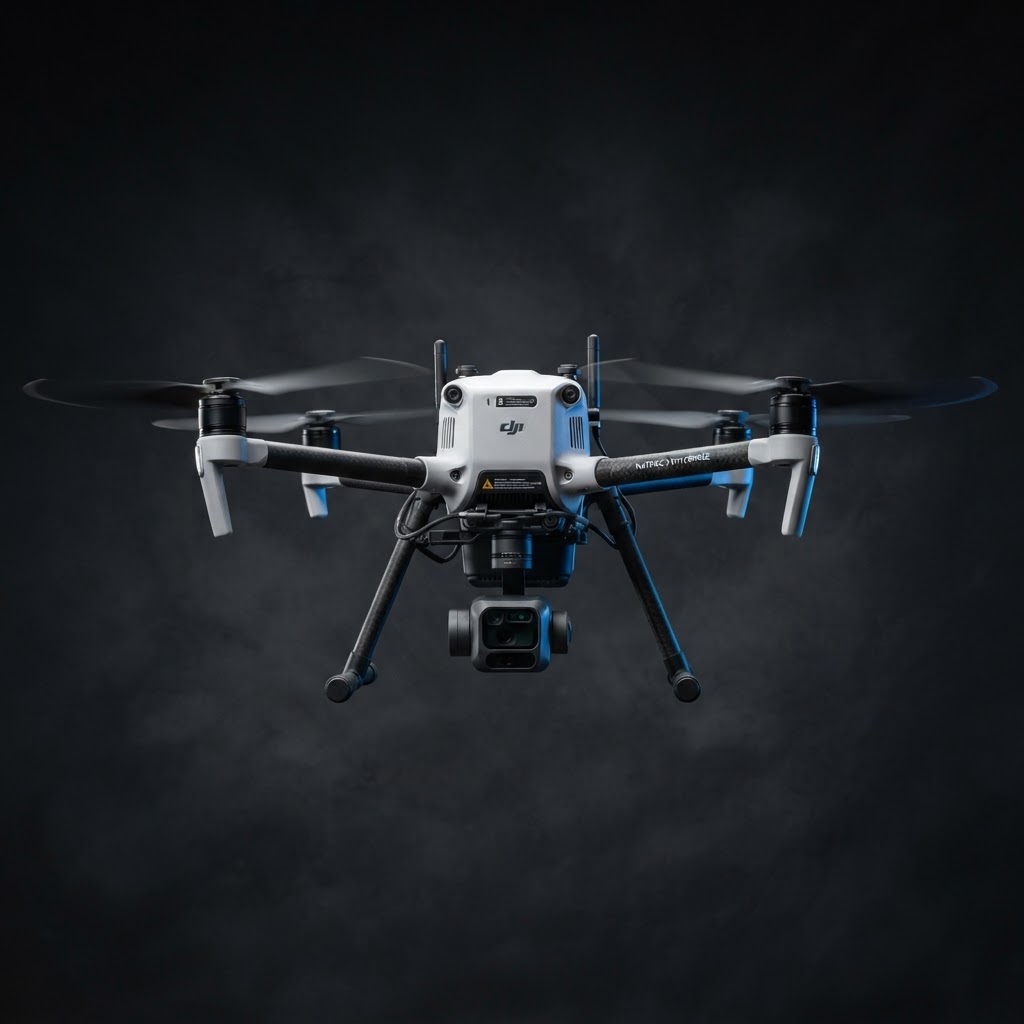
Matrice 3 Enterprise
Compact enterprise drone designed for automated, repeatable missions from a remote dock. Ideal for recurring site capture, progress monitoring and rapid response without an on-site pilot.
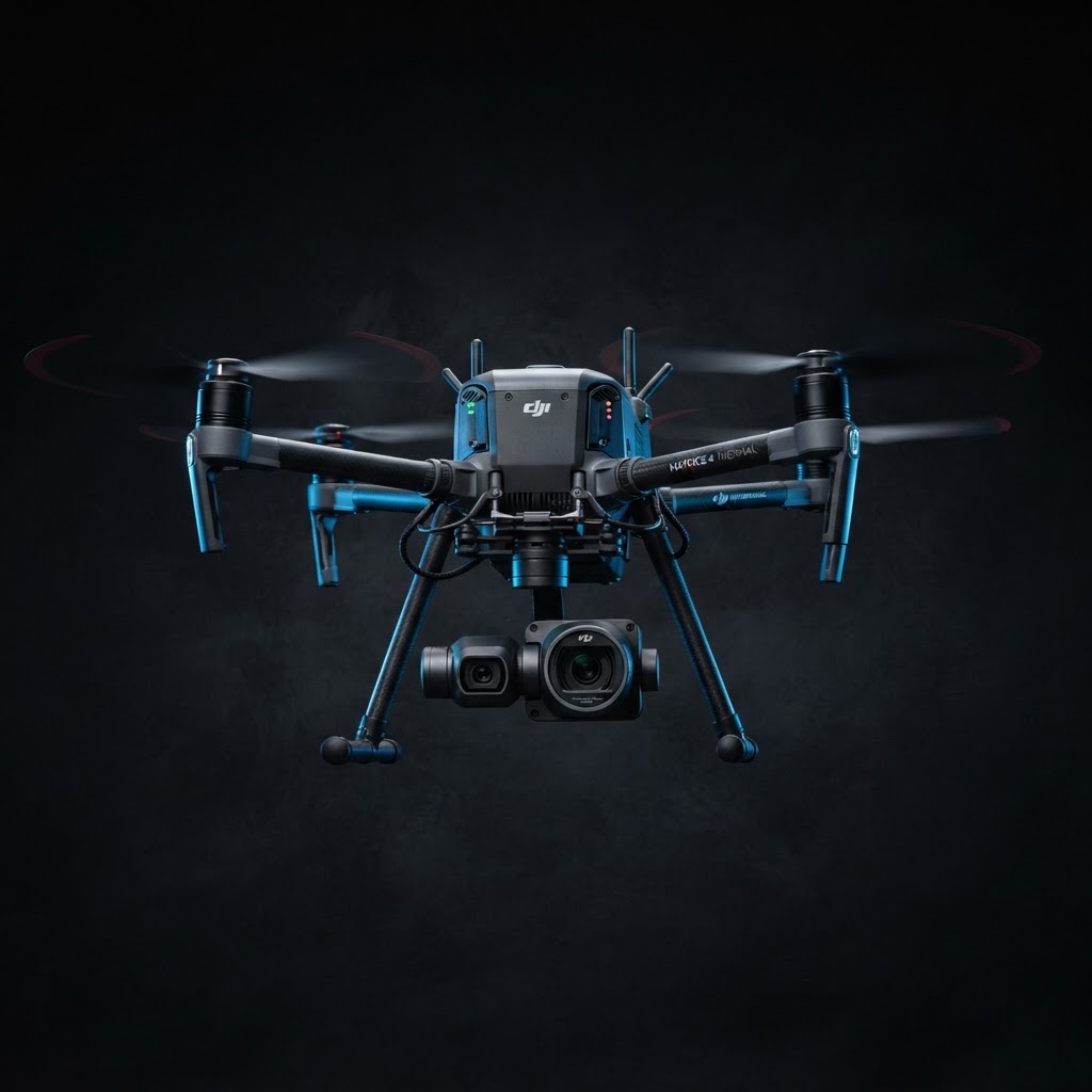
Matrice 4 Thermal
Thermal-equipped enterprise drone pairing a high-resolution thermal sensor with a zoom camera for detailed visual and thermal inspections of infrastructure, assets and active sites.
What We Deliver
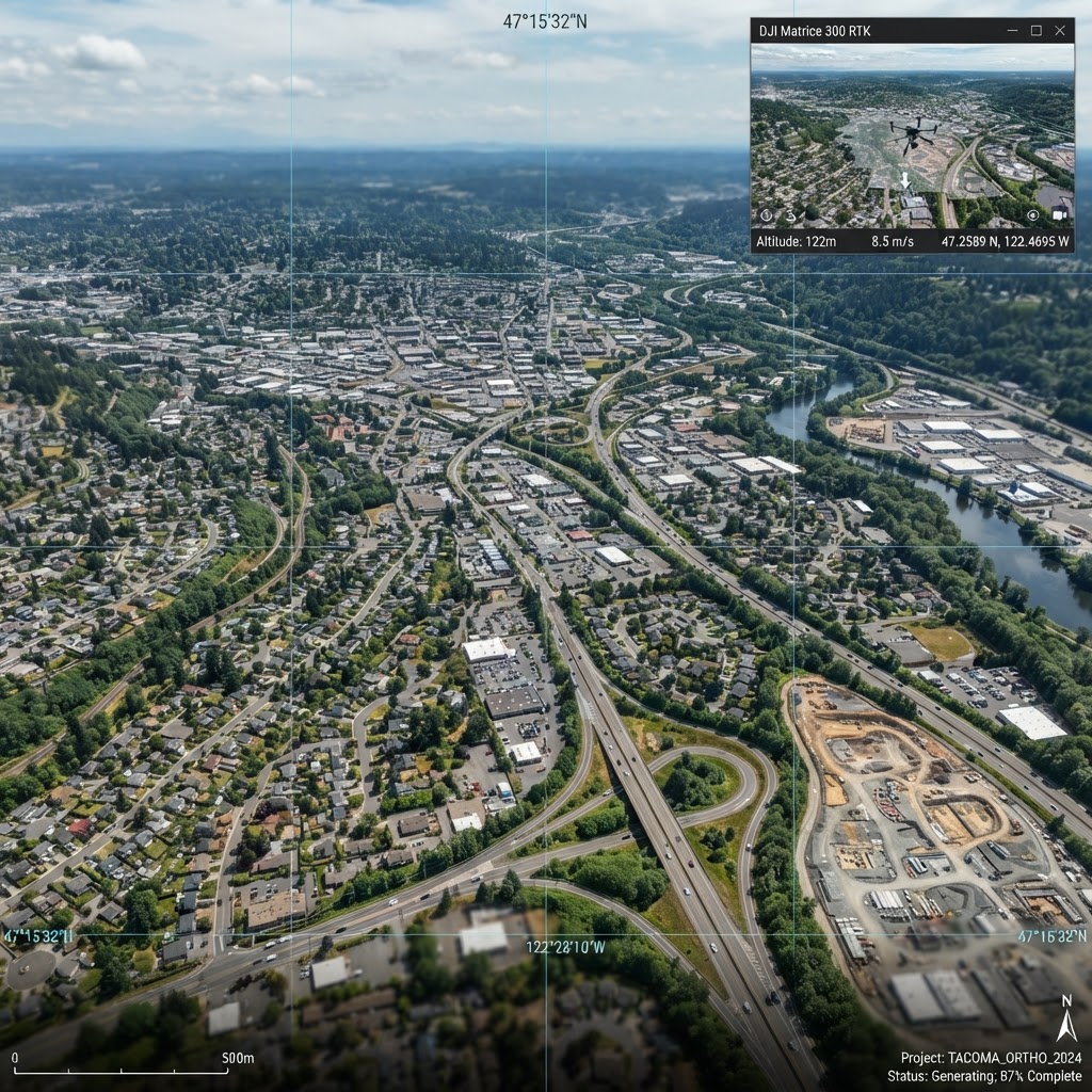
Aerial Surveying
Capture detailed topographic information for planning, engineering, design and construction workflows. Reflektar uses aerial photogrammetry, LiDAR and RTK positioning to collect high-density spatial data across large or difficult-to-access areas.
Applications
- •Existing-condition surveys
- •Topographic data collection
- •Construction site surveys
- •Road and transportation corridors
- •Land development projects
- •Mine and aggregate sites
- •Industrial and utility facilities
- •Drainage and slope assessment
- •Engineering and design support
- •As-built documentation
Available Deliverables
- Georeferenced point clouds
- Orthomosaic imagery
- Digital elevation models
- Digital surface models
- Digital terrain models
- TIN surfaces
- Contour mapping
- Topographic maps
- 3D site models
- CAD and GIS-compatible exports
Reflektar's aerial data supports engineering and professional survey workflows. Legal boundary and cadastral surveys must be completed by, or under the direction of, the appropriate licensed land-surveying professional.
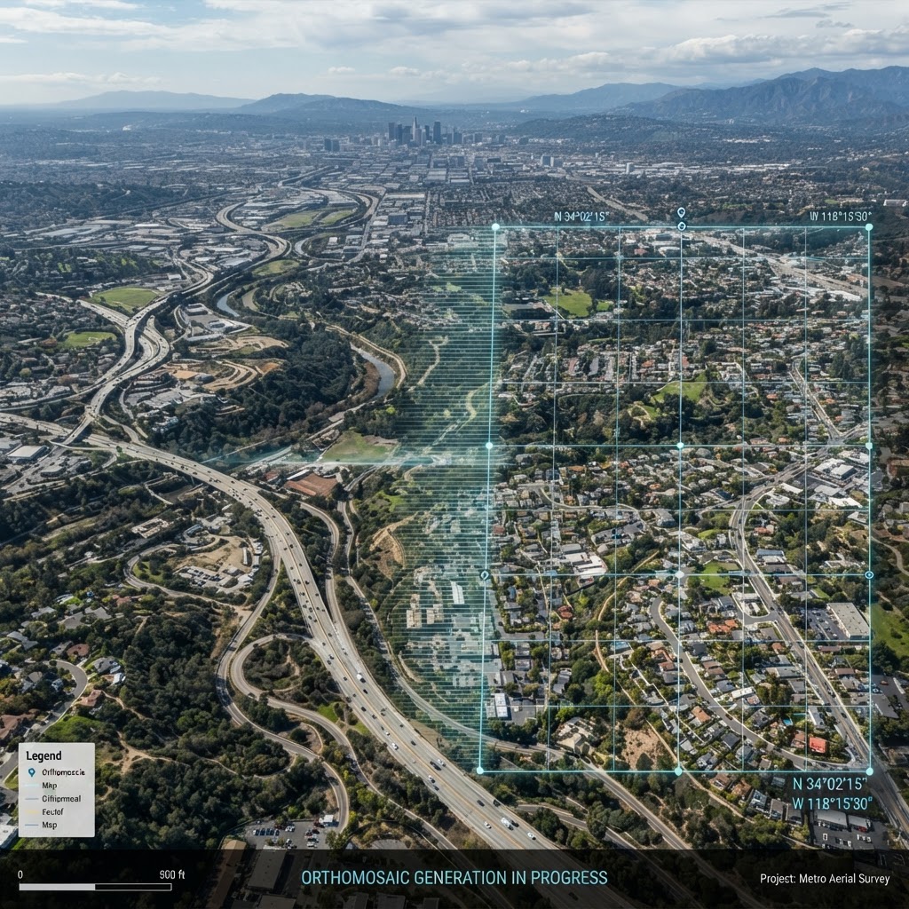
Aerial Mapping
Create an accurate, current and highly detailed digital representation of your site. Our aerial mapping services use high-resolution imagery and LiDAR to generate measurable 2D maps and 3D models of land, infrastructure, buildings and active project areas.
Applications
- •Site planning and design
- •Construction documentation
- •Infrastructure mapping
- •Corridor mapping
- •Environmental monitoring
- •Project progress tracking
- •Asset and facility documentation
- •Existing-condition modelling
- •As-built and design comparison
- •Digital twin development
Available Deliverables
- High-resolution orthomosaics
- Georeferenced aerial imagery
- 3D point clouds
- Mesh models
- Terrain and surface models
- Contour lines
- Planimetric mapping
- Measurements and annotations
- 3D fly-throughs
- Reflektar platform access
Volumetric Analysis
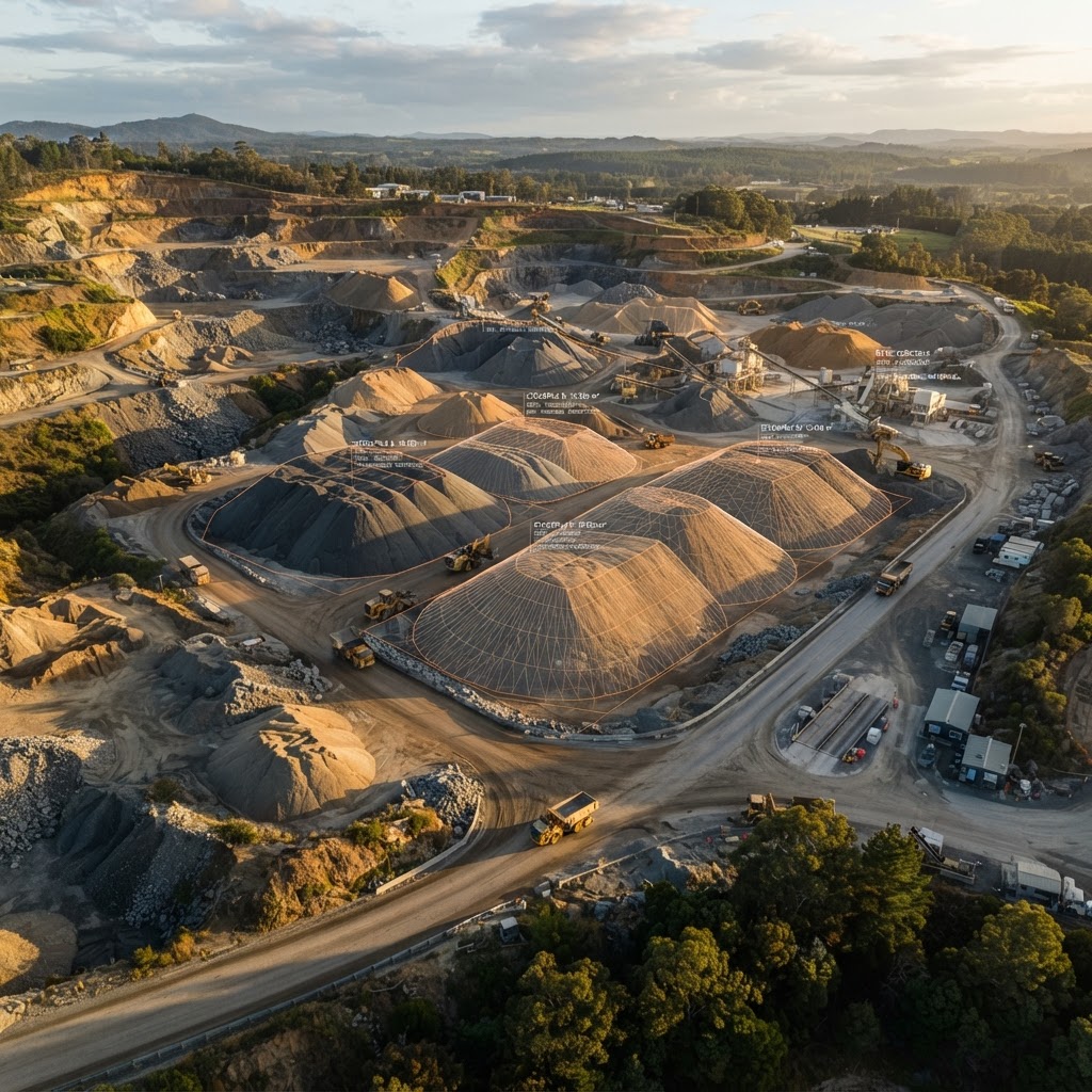
Measure stockpiles, material movement and earthworks quickly, safely and accurately. Reflektar uses aerial imagery, LiDAR and specialized processing workflows to create detailed three-dimensional models of stockpiles, excavations and changing terrain.
Applications
- •Stockpile measurements (aggregate, soil, sand, gravel, salt, waste)
- •Cut-and-fill analysis
- •Earthworks tracking
- •Progress payment verification
- •Site balancing
- •Excavation monitoring
- •Material reconciliation
- •Production reporting
- •Design comparison
- •Project forecasting
Available Deliverables
- Stockpile volume reports
- Cut-and-fill reports
- Quantity summaries
- Surface-to-surface comparisons
- Material movement calculations
- Annotated site maps
- 3D stockpile models
- Historical volume comparisons
- CAD and GIS exports
- Custom reporting formats
Aerial Inspections
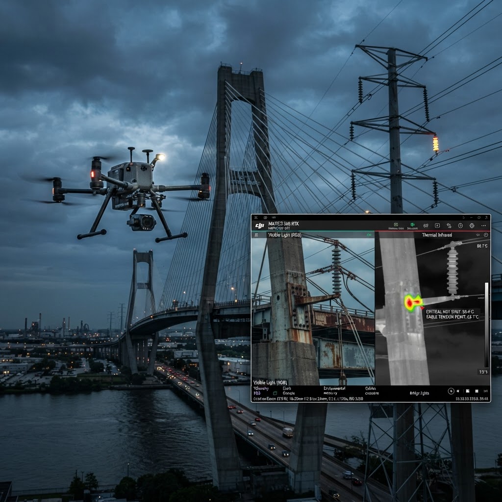
Inspect difficult, elevated or hazardous assets without unnecessarily exposing personnel to risk. Reflektar uses high-resolution visual cameras, zoom imaging and thermal sensors to document asset condition and identify visible or thermal anomalies from a safe operating distance.
Applications
- •Bridges and transportation structures
- •Buildings and rooftops
- •Towers, stacks and elevated structures
- •Industrial facilities
- •Utility infrastructure
- •Power lines and electrical equipment
- •Solar installations
- •Construction quality documentation
- •Storm and emergency damage
- •Remote or difficult-to-access assets
Available Deliverables
- High-resolution photographs
- Zoom inspection imagery
- Thermal images
- Visual and thermal video
- Georeferenced observations
- Annotated deficiency images
- Inspection location maps
- Detailed inspection reports
- Condition documentation
- Reflektar platform access
Inspection findings identify observed conditions and support further assessment. Engineering conclusions or professional certifications are completed by the appropriate qualified professional where required.
Maintain a Clear Record From Start to Finish
Recurring aerial capture provides a consistent visual and measurable record of project progress. Regular flights document earthworks, structural work and site changes over time — creating an objective, date-stamped history of your project.
Compare surfaces between flights, verify progress against design, and share up-to-date site views with stakeholders through the Reflektar platform.
01Date-Stamped Visual Record
Recurring flights create an objective, time-stamped history of site progress from groundbreaking to completion.
02Surface Comparison
Compare surfaces between flights to calculate earthworks, verify progress against design and identify deviations early.
03Stakeholder Sharing
Share current site views, orthomosaics and 3D models with owners, contractors and teams through the Reflektar platform.
Ready to Get Started?
Schedule a demo or contact our team to discuss your aerial surveying, mapping or inspection requirements.